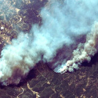


Greece has placed four new thermal satellites into orbit as part of a major upgrade to its national system for monitoring forest fires and environmental conditions, marking a significant expansion of its disaster response capabilities.
The satellites were launched aboard a SpaceX Falcon 9 rocket from Vandenberg Space Force Base in the United States. Officials described the launch as a key milestone in Greece's efforts to strengthen early warning systems for wildfires, which have become an increasing threat in recent years due to rising temperatures and climate pressures.
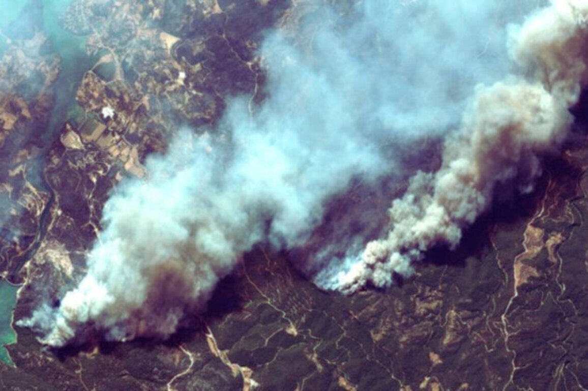
The spacecraft are part of Greece's National Microsatellite Program and will form the backbone of the country's first dedicated satellite-based forest fire detection network. Developed by AuroraTech, the system is designed to deliver near real-time information to support faster and more effective emergency response.
Equipped with advanced thermal imaging sensors, the satellites will be able to identify fire outbreaks at an early stage, track how they develop, and map affected areas in detail. All collected data will be transmitted to a centralized platform that integrates satellite information for use by government agencies, creating a unified operational system for civil protection authorities.
Officials said the initiative is expected to significantly improve coordination during emergencies, allowing faster decision-making and more precise deployment of firefighting resources.
Beyond fire monitoring, the satellites will also gather high-resolution environmental data. This includes measurements of sea surface temperatures, coastal zones, inland water bodies, as well as land use patterns across agriculture, forests, and urban areas.
According to authorities, this broader dataset will be used to support policy planning in areas such as environmental protection, water resource management, and long-term climate adaptation strategies.